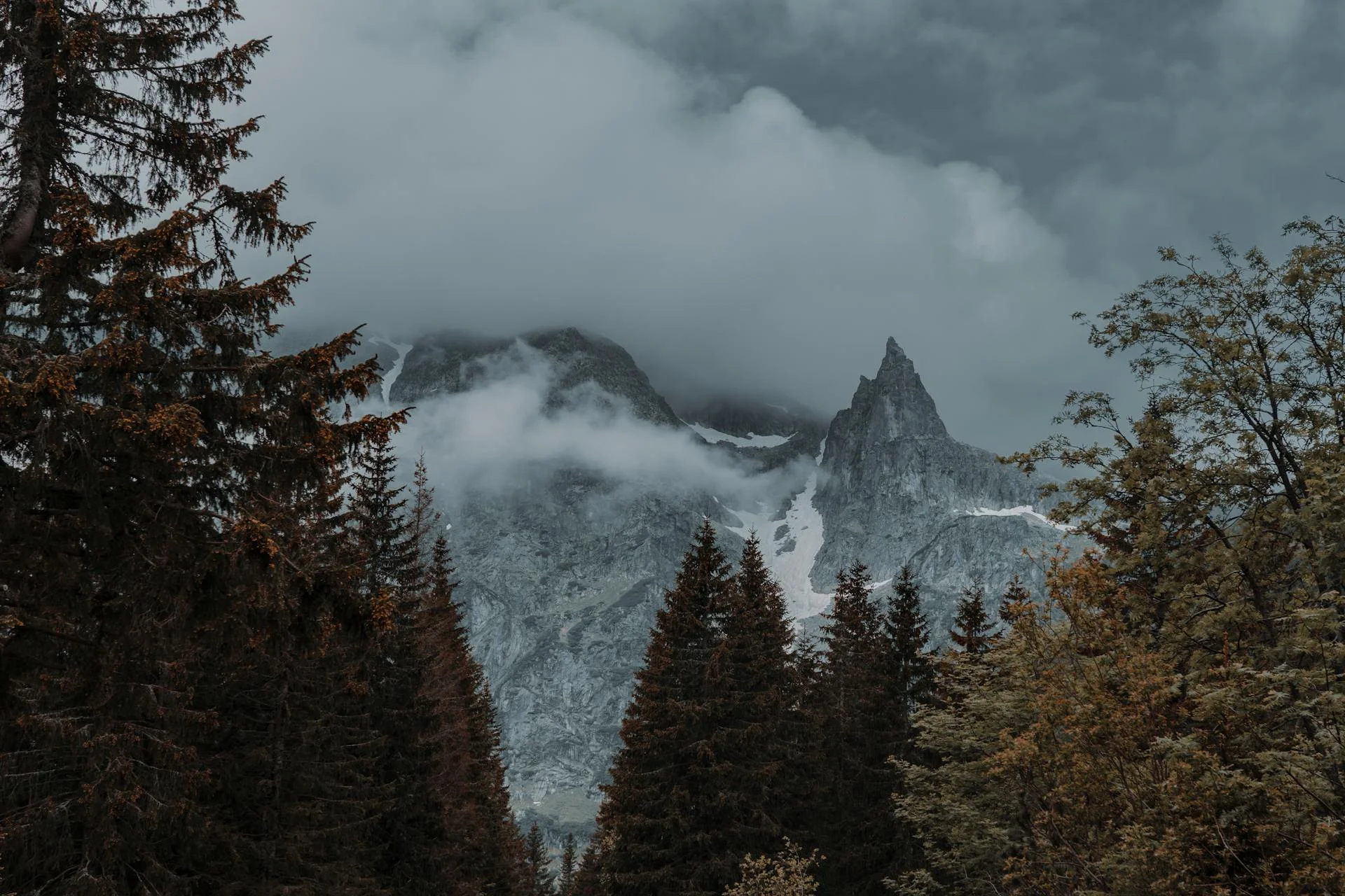
At 2,303 m, Pietrosul Rodnei Peak is the highest point in the Eastern Carpathians and the main hiking objective of the massif. Trails to the summit start from the Borșa area and cross the Pietrosul Mare scientific reserve, which is exactly why it's worth preparing properly before you set out.
Difficulty Level
Climbing Pietrosul Rodnei is a medium-to-high difficulty mountain hike, suited to people with at least some hiking experience and good physical fitness. The elevation gain from the base of the mountain to the summit is considerable, and the final stretch crosses bare rock with no vegetation to shelter you from wind. A full round trip generally takes a whole day — plan an early morning start, with enough margin to be back down before dark.
Trails and Markings
Access to Pietrosul Rodnei runs along marked trails that start in the Borșa area, climbing gradually through valleys and clearings toward the ridge. Along the way you'll pass a handful of mountain huts and refuges, including Cabana Puzdrele, used by hikers for a break or, in some cases, an overnight stay — see our guide to the ridge's cabins and refuges for altitudes, capacities, and what to know before relying on them. Trail markings and conditions can change from year to year, especially after harsh winters or maintenance work — check the current route and markings with Salvamont Maramureș or the Rodnei Mountains National Park administration before you go, rather than relying solely on old maps or outdated apps.
Trail Map
For orientation before you set out, the Rodnei Mountains National Park administration publishes the official park maps and an interactive trail map. Pietrosul Rodnei's summit can also be located on Google Maps at coordinates 47.5333, 24.7 — useful for marking the route in an offline app in advance, given the patchy mobile signal in the area.
Lacul Iezer
About 9 km from Borșa, 4 km of which is drivable, along a trail marked with a blue stripe, sits Lacul Iezer — a glacial lake at 1,825 m, right at the foot of Pietrosul Rodnei. From the lake, the climb to the summit takes roughly another 2 hours, which makes Iezer both a natural stopping point for hikers pushing on to the peak and a worthwhile destination on its own for anyone after a shorter hike with a guaranteed alpine view.
Other Trails in the Rodnei Mountains
Pietrosul Rodnei is the massif's best-known objective, but not the only one. The main ridge runs from Pasul Șetref to Pasul Rotunda and crosses several other peaks above 2,000 m, including Vârful Ineu (2,279 m) — the second-highest in the Rodnei Mountains — Vârful Gărgălău (2,159 m) and Vârful Buhăescu Mare (2,119 m). A full ridge traverse is a multi-day hike recommended only for hikers with mountain experience, camping gear and solid route-finding skills; shorter segments, starting from Pasul Rotunda or Șaua Gărgălău, can be done in a single day by those after a taste of the ridge without necessarily summiting Pietrosul.
The Pietrosul Mare Scientific Reserve
Part of the area around the summit sits within the Pietrosul Mare scientific reserve, strictly protected since 1932. Inside the reserve, access is only permitted on marked trails — it's forbidden to leave the path, pick plants, light fires outside designated areas, or leave litter. These rules protect the area's rare alpine flora and are part of the whole massif's UNESCO Biosphere Reserve status — see our wildlife and nature guide for what exactly these rules protect.
What to Bring
- Sturdy hiking boots with good grip, plus rain gear — weather on the ridge changes fast regardless of the morning forecast.
- Layered clothing — temperature drops noticeably as you gain altitude.
- Enough water and energy-dense food; there are no reliably safe drinking water sources on the higher stretches.
- An offline map or mountain GPS, plus a phone power bank — mobile signal is patchy on the ridge.
- Sunscreen and sunglasses — UV exposure is stronger at altitude.
Best Season
Summer through early autumn (July–September) offers the safest conditions for the climb, with snow melted on most stretches and longer daylight hours. Spring and late autumn can bring snow and ice to the ridge, which makes the route dangerous without winter gear and mountain experience. For a full seasonal breakdown of the area, see our season-by-season guide.
Safety
Let someone know your planned route and expected return time before you set out. In a mountain emergency, you can reach Salvamont via the single European emergency number 112. Don't set out alone in unstable weather or dense fog, and if you're unsure about trail conditions, choose one of the easier, lower-elevation hikes around Borșa instead.
After the hike, you can relax at one of the properties in our accommodation guide to Borșa and Moisei — most are just a few kilometers from the trailheads.